Access IOOS Data
Connect to real-time and historical ocean observations, predictive models, and environmental datasets from across the U.S. Integrated Ocean Observing System network.
IOOS.us National Data Portal
The IOOS.us National Data Portal connects users to data collected by the U.S. Integrated Ocean Observing System. The portal features information from a wide range of sources including buoys, radar systems, and gliders. Modeling teams across IOOS regional associations contribute predictive models and environmental datasets that support ocean and coastal observations.
Users can explore data through interactive maps, Regional Association portals, and IOOS Data Assembly Centers (DACs). The portal also includes demonstrations and examples for scientists and managers who want to use IOOS data in programming languages like Python, Matlab, and R.
IOOS Data Products
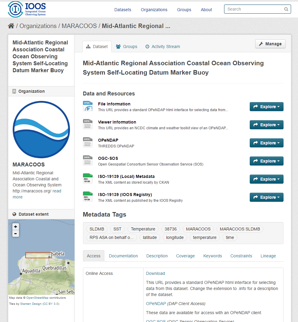
The IOOS Catalog
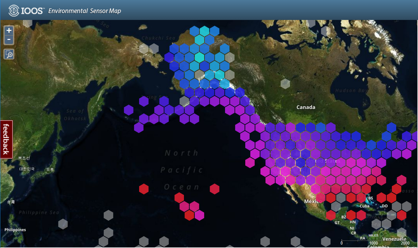
Environmental Sensor Map
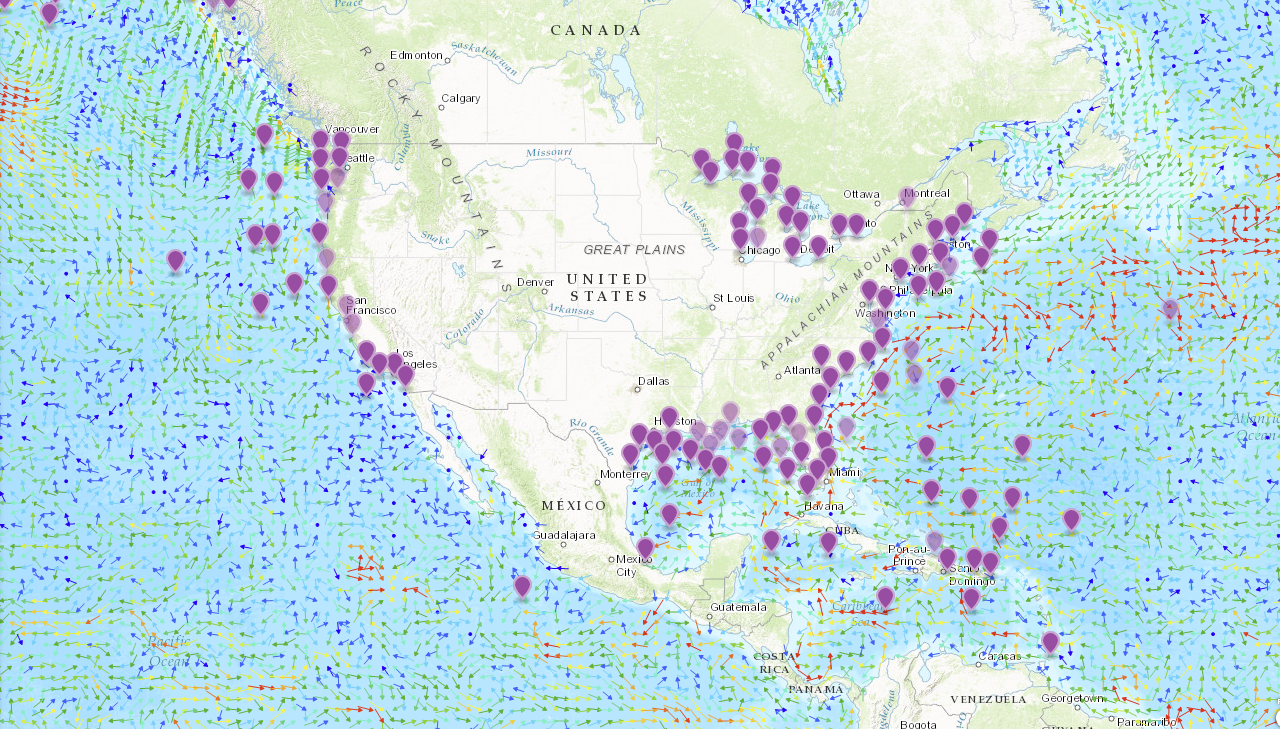
IOOS Model Viewer
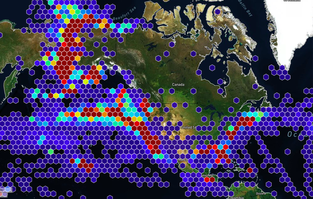
Animal Telemetry Network Data Portal
Data Assembly Centers
High Frequency Radar DAC
The HF-radar network delivers surface current and wave data from U.S. waters to users nationwide and supports critical weather and marine forecasting operations at NOAA’s Office of Coast Survey, CO-OPS Tides & Currents, and Weather Forecasting Offices throughout the country. The HF-radar DAC offers access to near-real time data as hourly or 25-hour averaged surface currents on an interactive map. Scientists can also gain access to historical and near-real time data as NetCDF files on-demand via NDBC. Depending on the frequency range of the coastal stations, data are collected at a resolution ranging from 500 m to 6 km.
IOOS Underwater Glider DAC
Animal Telemetry Network DAC
Regional Data Portals
The IOOS Regional Associations each maintain a data portal tailored to their specific region. These portals provide access to real-time and historical ocean, coastal, and Great Lakes data to support safety, operations, and environmental understanding.
Mobile Data Tools
Mobile-friendly websites and applications from IOOS Regional Associations and partners.
CARICOOS Mobile Apps
NANOOS NVS Data Explorer
Provider: Northwest Association of Networked Ocean Observing Systems
Data Explorer App and Tsunami Evacuation App (provided by NANOOS)
PacIOOS Voyager Mobile
NOAA CBIBS (Smart Buoys)