Providing coastal and ocean data and information products through collaborative networks and our SECOORA Data & Maps.
Our Mission
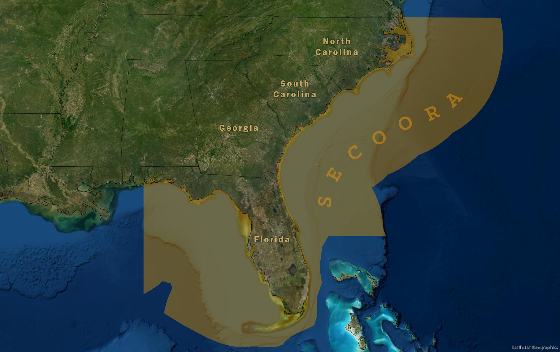
SECOORA connects communities across the Southeast with real-time observations, tools, and partnerships that support safety, access, and everyday decisions. From the western Gulf of America to the South Atlantic Bight, people rely on SECOORA to understand what is happening along our coasts right now and what it means for them.
SECOORA’s regional observing network includes buoys, water level stations, cameras, biological sensors, high-frequency radars, gliders, models, and other tools that provide real-time information, forecasts, and long-term data.
Together, these resources help people:
Prepare for storms and extreme events
Monitor flooding and changing coastal conditions
Track ecosystem health
Make informed decisions before heading to the water
At a Glance
SECOORA serves as a Regional Association responsible for operating and maintaining a certified Regional Coastal Observing System for the ocean and estuaries from North Carolina through the west coast of Florida.